
Driftwood Canyon, 1960.
Names on the Land
When the United States Geological Survey finished their surveys and published their quadrangle maps of the Glen Canyon Region in the l950’s, there were few names associated with the side canyons and natural features of the area. The extant names were designated by the first explorers, mainly the Spanish. Some names were identified by Major Powell in his 1869 and 1871 expeditions down the big rivers, such as Dirty Devil River, Glen Canyon, the Escalante River, and the Henry Mountains. Explorers and pioneer travelers had no hesitation in naming features that they found significant. Hole-In-The-Rock, Lake Canyon, Navajo Creek, Kaiparowits Plateau are fine examples of these. Stockmen and cattle ranchers named such features as Aztec Creek and Davis Gulch. However, as one can see from looking at the 1950s and 1960 USGS maps, much of the area is without any identification whatsoever.
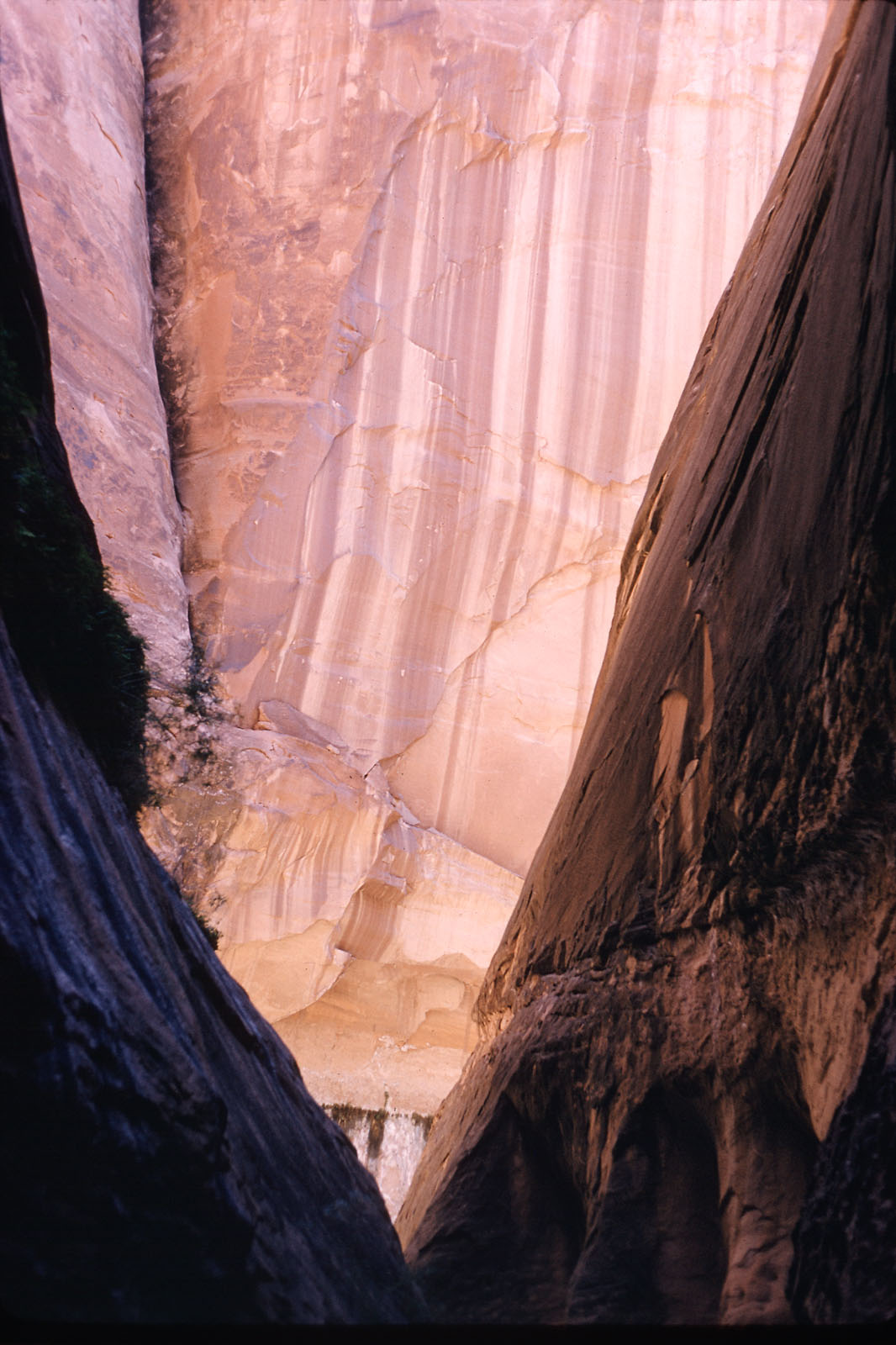
It remained for later recreationists to attach names to the canyons and features that so enchanted them. Most of the names of the side canyons that you see portrayed in this exhibit were given to by the “We Three” group—Katie Lee, Tad Nichols, and Frank Wright. During a series of exploratory trips through Glen Canyon, these friends and adventurers found their way into every side canyon they could reach and climbed every trail available. They named the canyons and features by whatever adjectives seemed to fit the mood of the place. Hence, you see such names as Twilight, Dungeon, Labyrinth, and Driftwood attached to the photographs of these exquisite places. The United States Geological Survey accepted the names these three bestowed on them, and you can see the entire list given in the front of Katie’s book Glen Canyon Betrayed.

Dungeon Canyon, 1960.
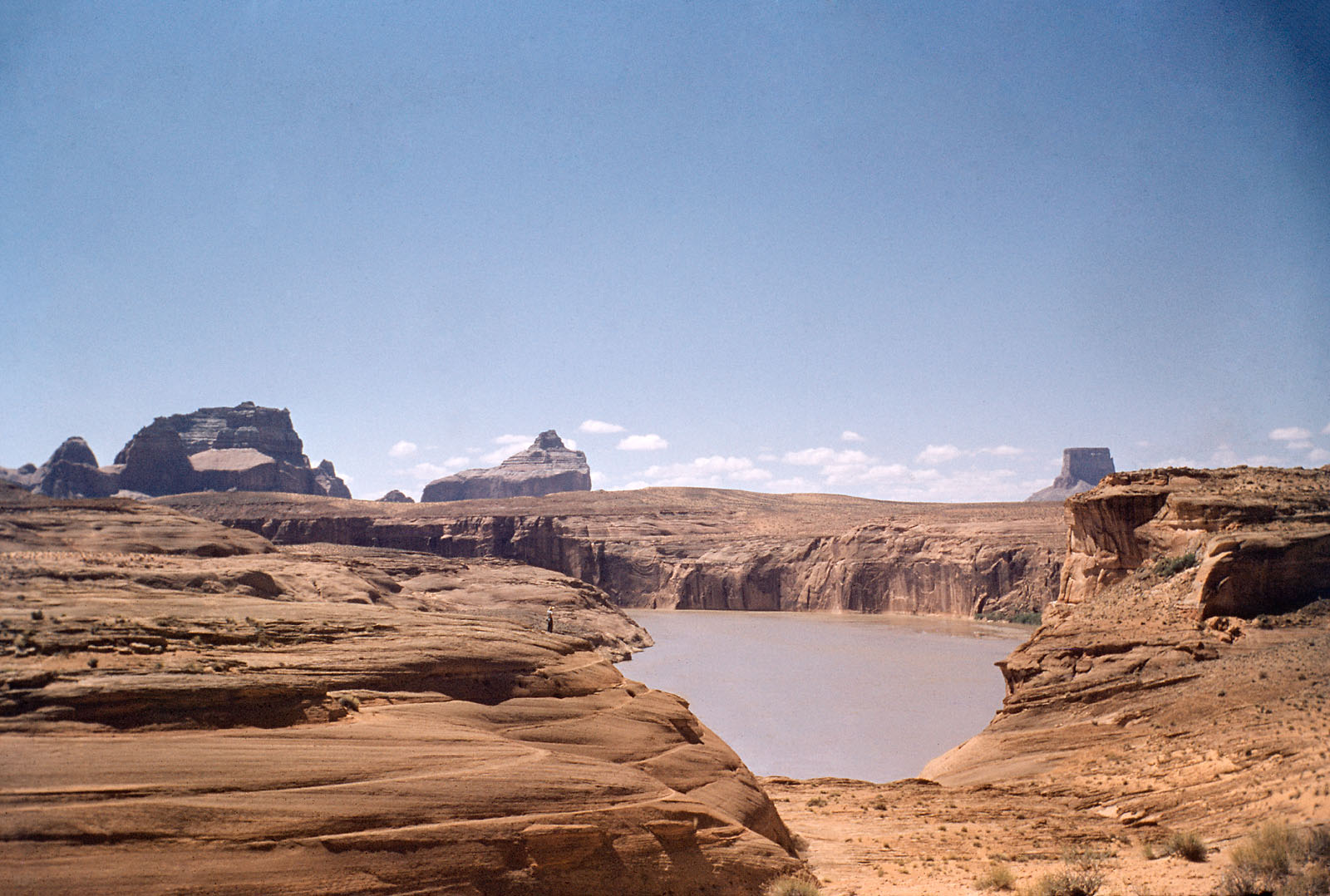
View of Crossing of the Fathers, 1955.
Crossing of the Fathers
On July 29, 1776 an expedition led by Franciscans Silvestre Velez de Escalante and Francisco Dominguez left Santa Fe with the goal of finding a route from the Spanish settlements in New Spain to those in California. They traveled north through present day western Colorado and then turned west, crossing the Green River near what is now Jensen, Utah. Soon they found themselves on the shores of Utah Lake. Based on information shared by regional indigenous peoples, they determined that the route they sought was probably not feasible, so they headed south and then east, arriving at the Colorado River on November 1. Their camp was at the ford, now designated as Lees Ferry, but they determined that a crossing there was not possible. They traveled a short way up the Paria River, climbed the cliffs to the north, and from there followed the river. The expedition was now desperately short of food and were suffering from cold and thirst. Near Gunsight Butte and not many miles above Navajo Creek they found the salvation for which they had prayed so hard. On November 7 they descended to the river via a short ravine, crossed the shallow waters, and reached the east bank. They fired off their muskets in thanksgiving and headed quickly south toward the Spanish settlements. They arrived back at Santa Fe on January 2, 1777, grateful just to be alive.
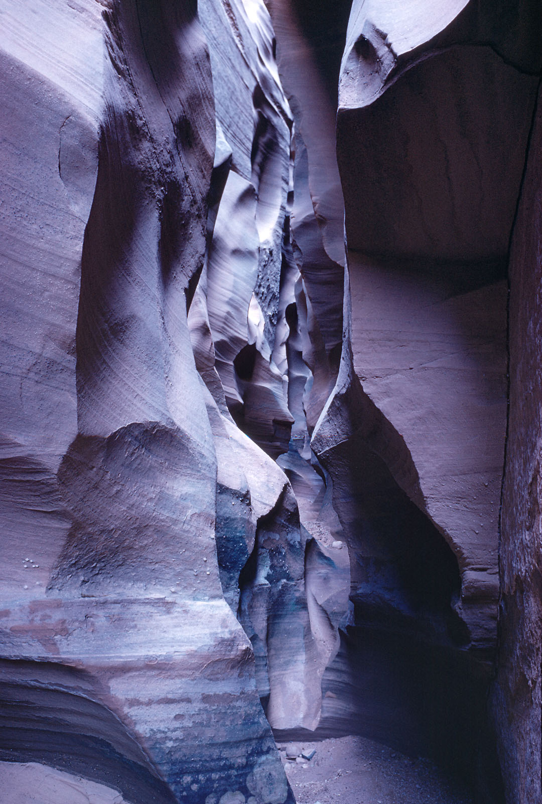
Labyrinth Canyon.