
Entrance to Lake Canyon, 1963.
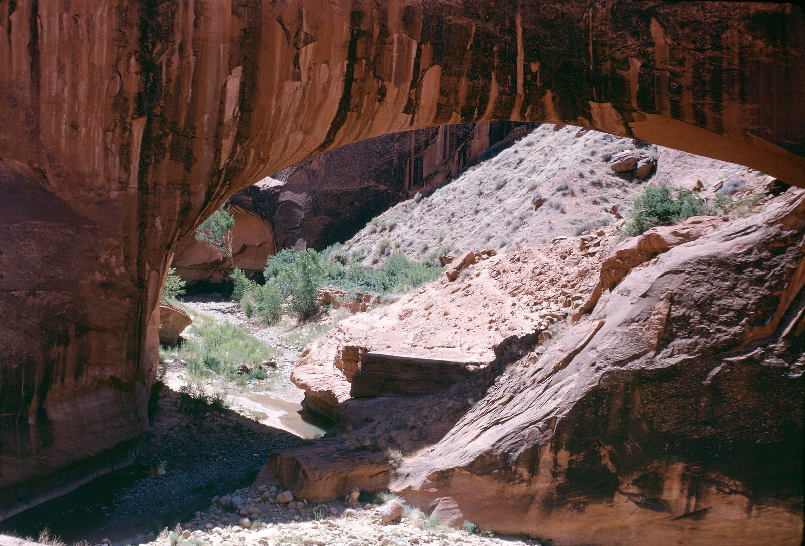
Gregory Natural Bridge, mouth of Soda Gulch in the Escalante drainage, 1964.
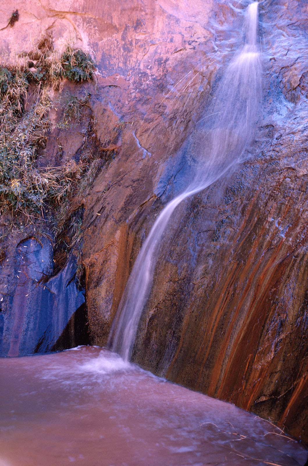
A waterfall in Davis Gulch, a tributary of the Colorado
River, 1966.
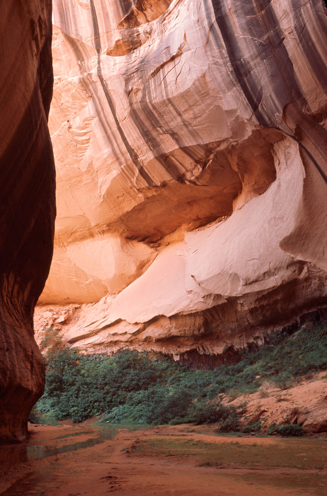
Clear Creek in the Escalante drainage, circa 1957.
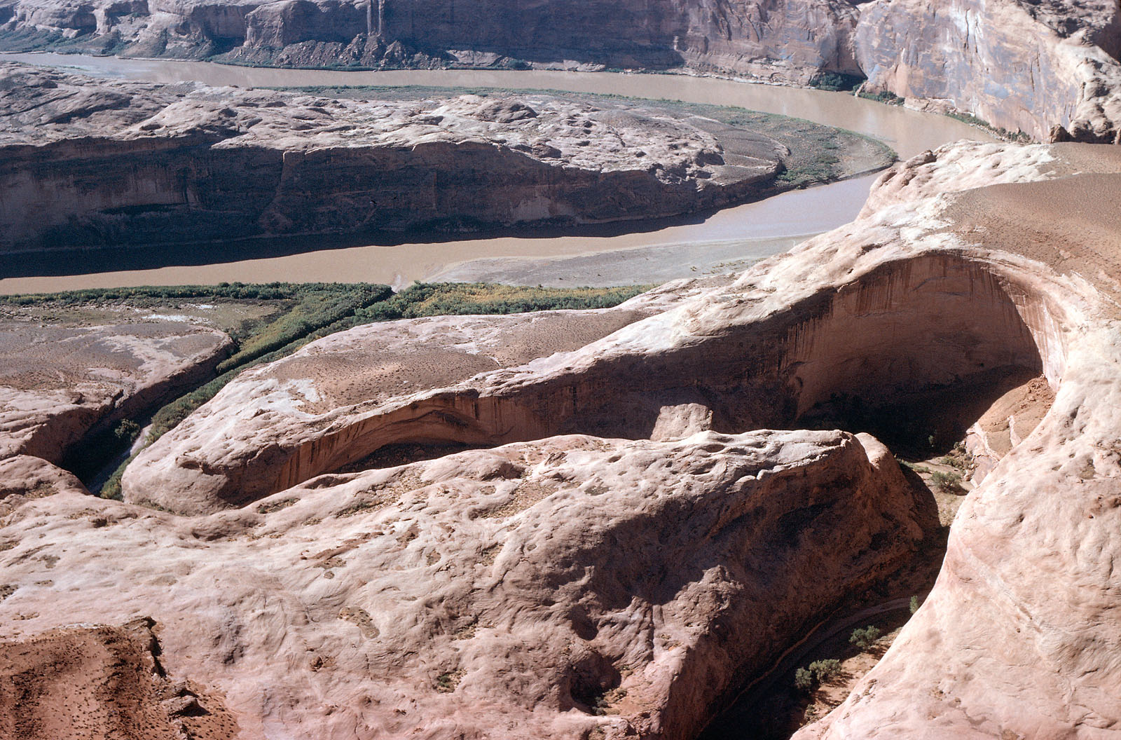
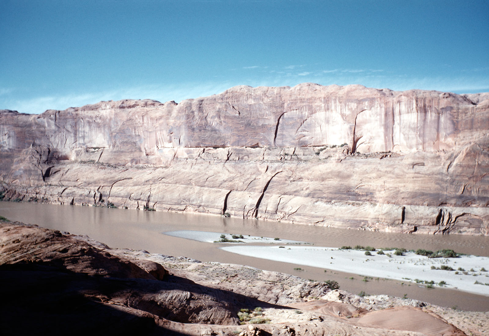
Mouth of Halls Creek and Halls Crossing, 1962.
Halls Crossing
Charles Hall, one of the scouts for the 1879 Mormon expedition (see blow), remained at Hole-in-the-Rock crossing to assist those who wished to travel this route. Due to the arduous nature of the route, there was very little interest. He soon discovered a much easier route from Escalante, down Harris Wash and up Silver Falls Creek to the Circle Cliffs country. Hall followed the Waterpocket fold south and east, where a small creek joined the Colorado River. It was here that he established a ferry. There were no cliffs to descend nor extensive road construction required. From this crossing, it was just a short trip south to re-join the Hole-in-the-Rock trail. The little water course came to be called Halls Creek, and the ferry location Halls Crossing.
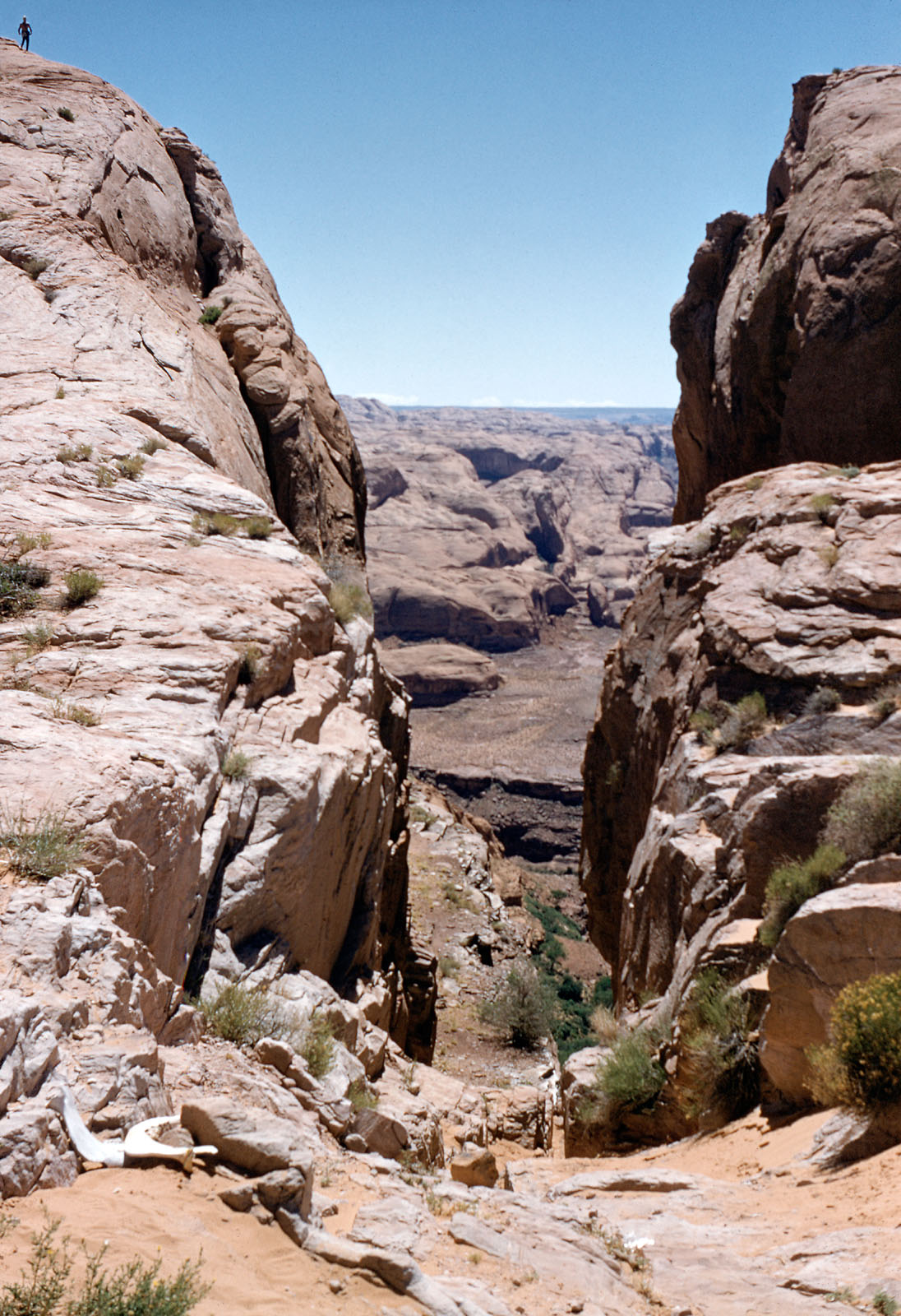
Hole-In-The Rock.
Hole-In-The Rock
In pursuit of founding a homeland for his followers, Brigham Young established colonies in a number of remote locations throughout the West. One area of interest was along the San Juan River, which Brigham Young desired for his State of Deseret.
In the mid-1870s, the mission call went out for an expedition to establish a settlement at Montezuma Creek along the San Juan River. During the fall of 1879 approximately 200 men, women, and children assembled at the small Mormon settlement of Escalante and headed southeast along the Straight Cliffs toward the Colorado River. When they arrived at Glen Canyon, they found themselves almost two thousand feet above the river with a narrow and steep ravine as their planned access. The entrance to the ravine was too narrow for wagons, so blasting powder and back-breaking pick-and-shovel work had to be done to widen the opening. The pioneers built a cantilever road down the ravine. Navigating their wagons down this route was both difficult and dangerous, and at the bottom the wagons had to be floated across the river and then hauled up Cottonwood Gulch to the plateau above.