It's a
Overview:
This lesson introduces students to map skills, as well as the geography of northern
Objectives:
Grade Level/Subject Area
Materials:
Oral Histories Online:
Photographs
Flooded Waterways:
City of
City of
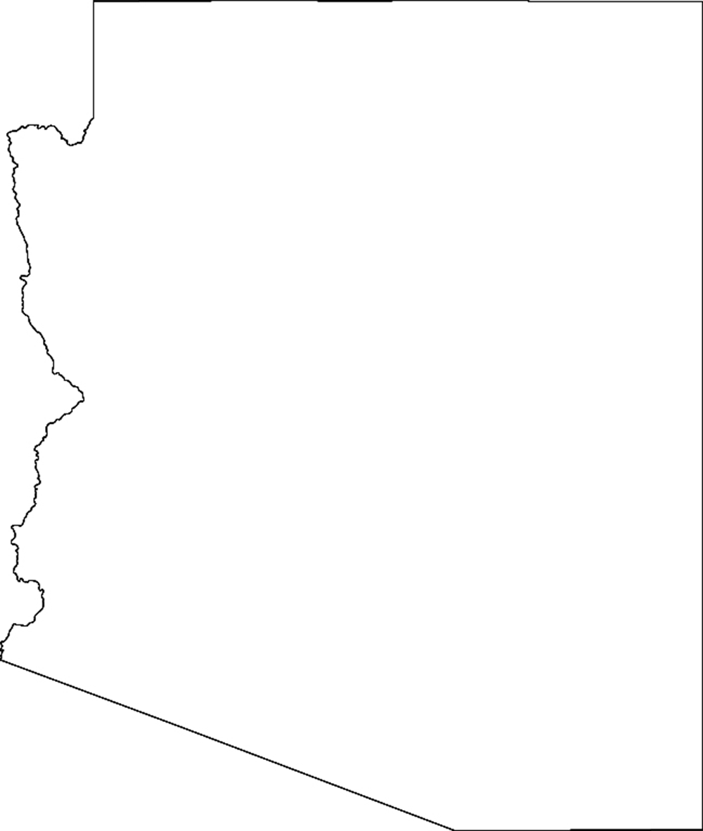
Blank maps of the city of Flagstaff, Coconino County and Northern Arizona
Instructional Strategies:
Questions: What places in
Discuss: Flood safety. Make sure students know not to play in washes, especially when it is raining. They should not walk or ride their bicycles in flooded areas and ask their parents not to drive their cars through flooded areas.
Remind students of topics during your discussion of rivers and washes. Have them fill in each side of the diagram. Note the similarities between each in the middle.
Provide a blank map of
For younger students, provide a model map on an overhead or chalkboard.
Direct students to label (and / or draw in) significant water landmarks:
Additional criteria for grades 4 and 5:
Closing:
Ask students to review their maps. Is the school near a wash or river? Is their house near a wash or river? What should they do if a flash flood happens? Trade maps with a friend and answer the same questions. Review flood safety.
Assessment:
At the end of the lesson, students will be able to:
This lesson correlates to the following
Grades 1 – 3
3SS-F1. Construct and interpret maps and other geographic tools, including the use of map elements to organize information about people, places, and environments, with emphasis on:
PO 1. identifying the characteristics and purposes of maps, globes, and other geographic tools
PO 5. using a globe and an atlas to locate a student's city and state
PO 7. labeling the continents, oceans, and major mountain ranges on a map
SS-F2. Identify natural and human characteristics of places and how people interact with and modify their environment, with emphasis on:
PO 4. how people depend on the physical environment and its natural resources to satisfy their basic needs
Physical Geography:
6SC-F5. Identify major features of natural processes and forces that shape the Earth's surface, including weathering and volcanic activity.
Grades 4 – 5
FOCUS:
3SS-E1. Demonstrate understanding of the physical and human features that define places and regions in
PO 1. identifying
PO 2. explaining and using map titles, symbols, scale, cardinal and intermediate directions, and elevation on maps of
PO 3. locating and comparing the three landform regions of